Measured Floor Plans
One tier. Professional quality. We scan your building with LiDAR and deliver accurate floor plans with double-line walls, full dimension chains, and room areas — with construction-grade accuracy. PDF delivered in 1–2 days. DWG available as an add-on.
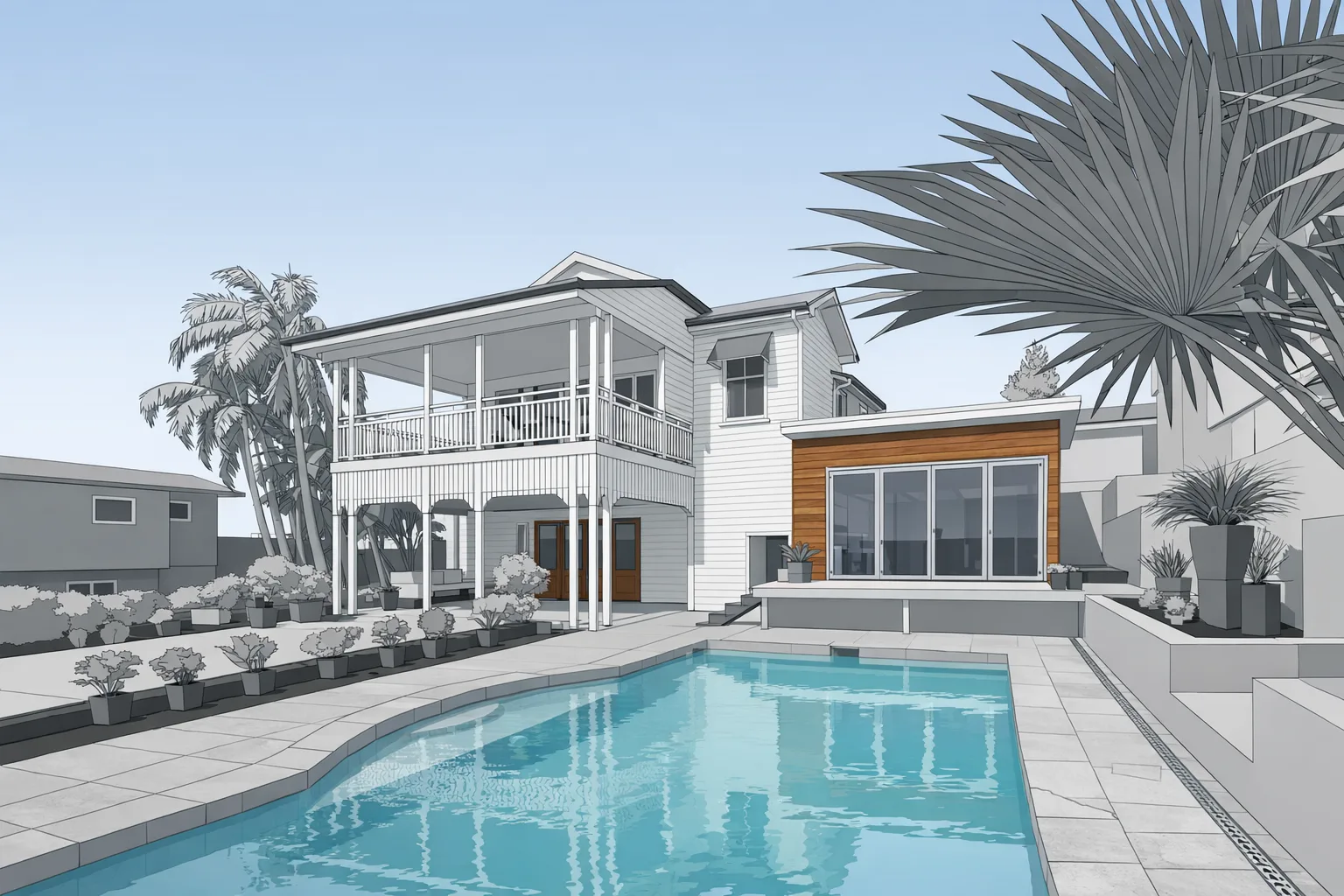
What a measured floor plan looks like
A measured floor plan is a dimensioned architectural drawing that shows the building as it actually exists — not as it was originally designed. We scan the building with a Matterport Pro3 LiDAR scanner, then our drafting team traces the scan data into a clean, professional floor plan.
Every plan includes double-line walls that show actual wall thickness, full dimension chains across all major spaces, room areas labeled in square feet, door and window locations, and a north arrow and drawing scale. The result is a plan you can hand to an architect, contractor, appraiser, or designer and have them start working immediately.
There's one tier. We don't offer a "schematic" or "basic" version — every floor plan is a professional measured drawing. The difference between our plans and what you'd get from someone with a tape measure isn't just accuracy — it's the fact that we don't miss anything. Every room, every hallway, every closet is captured in a single visit.
Who uses measured floor plans
- Architects — reliable base drawings for renovation and addition projects
- Remodeling contractors — accurate dimensions for bidding and scope
- Interior designers — precise plans for space planning and furniture layouts
- Appraisers — floor plans for GLA calculations (pair with our ANSI Z765 report)
- Real estate agents — professional floor plans for listings
- Facilities managers — building records for capital planning
What you get
- PDF floor plan — print-ready, professional quality
- Double-line walls with wall thickness shown
- Full dimension chains across all rooms and corridors
- Room area labels in square feet
- Door and window locations
- North arrow and scale bar
- Matterport virtual tour included free
- DWG file release available as add-on (+$100)
Why LiDAR beats tape measuring
Manual tape measuring is slow, tedious, and error-prone. A single person measuring a 2,000 sq ft home takes 3–4 hours and commonly introduces errors of 2–4 inches per room, which compound across larger buildings. Those errors create rework downstream — design changes, contractor disputes, and permitting delays.
LiDAR captures the entire building in 1–2 hours in precise, complete detail. Our drafters work from that data to produce consistently accurate, construction-ready plans. The scan is also a permanent record — if a question comes up six months later, we can go back to the scan data and verify any dimension without returning to the site.
DWG add-on
For architects, designers, and engineers who work in AutoCAD, we can release the DWG file for $100. This is the same geometry as the PDF — not auto-generated, but hand-drafted in AutoCAD — so it imports cleanly and is organized on logical layers your team can work with immediately.
Check the DWG option when you request your estimate and it'll be included with your PDF delivery.
Frequently Asked Questions
What's included in a measured floor plan?
Double-line walls showing wall thickness, full dimension chains, room area labels, door and window locations, north arrow and scale. Delivered as a clean PDF ready to share or print.
Do you offer DWG files?
Yes. DWG file release is available as an add-on for $100. It's an editable AutoCAD file your architect or designer can import directly into their workflow.
How accurate are the plans?
Highly accurate for typical residential and commercial buildings — significantly more accurate than manual tape measuring, which commonly varies by inches across a room.
How long does delivery take?
Most projects deliver within 1–2 business days of the scan. Larger buildings may take up to 5.