As-Built Floor Plans & LiDAR Scanning in Lansing, MI
Professional building documentation for Lansing, East Lansing, and Mid-Michigan contractors, architects, and property teams. Scheduling coordinated from Grand Rapids — same deliverables, same turnaround.
LiDAR documentation for Lansing projects
From downtown Lansing commercial renovations and state office build-outs to East Lansing rentals near Michigan State University, Mid-Michigan projects depend on accurate existing conditions before design and estimating decisions get locked in. Older housing stock in neighborhoods like REO Town and Westside, mixed-use conversions along Michigan Avenue, and multi-family properties throughout the capital region all benefit from scan-based documentation.
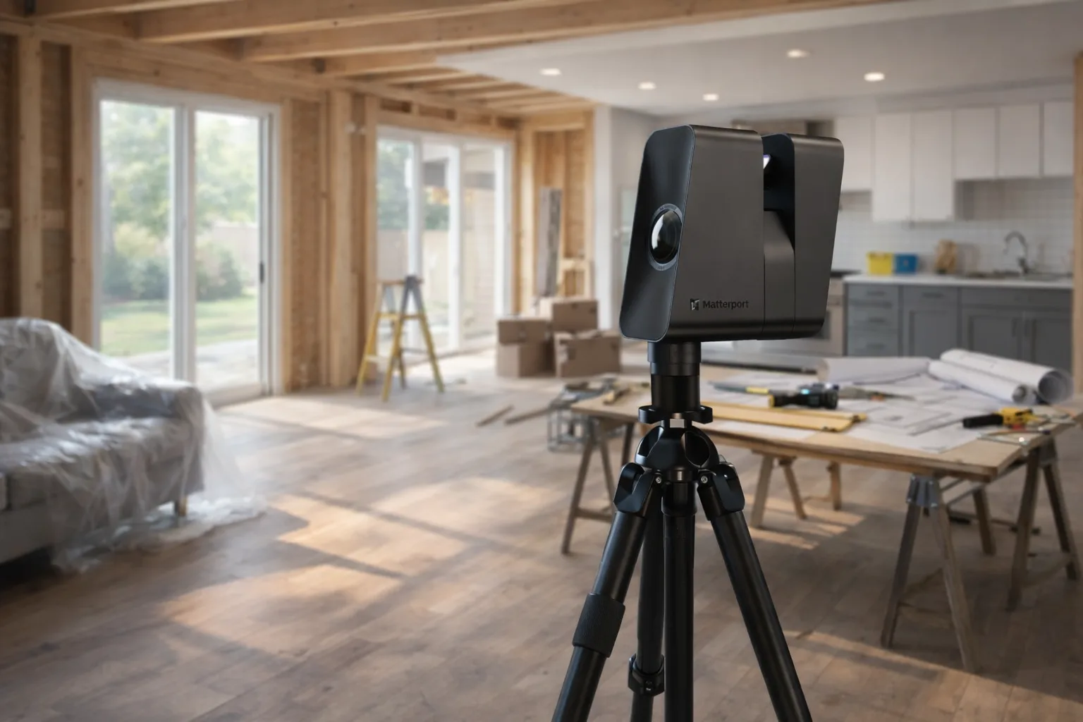
We coordinate travel from Grand Rapids — about an hour down I-96 — to provide the same documentation quality and turnaround throughout the Lansing market. Our Matterport Pro3 scanner captures complete building conditions that our CAD team converts into construction-ready deliverables: measured floor plans, AutoCAD DWG files, Revit models, and full as-built packages.
Every scan also includes a Matterport 3D virtual tour, and we offer standalone Matterport tours for Lansing-area real estate, rental, and hospitality properties.
Lansing area coverage
- Downtown Lansing
- East Lansing & MSU area
- Okemos & Haslett
- Grand Ledge
- DeWitt
- Mason & Holt